


Move With John › North Shore › Sunken Meadow to the Kings Park Psych Center
Move With John · Kings Park
Sunken Meadow to the Kings Park Psych Center: A 7.7-Mile History Hike
By John Cordeira · Hiked November 15, 2026 · Kings Park, Suffolk County · Original photos
7.68 mi
Loop distance
587 ft
Elevation gain
3
Historic stops
Moderate
Difficulty
Quick Facts
Where: Sunken Meadow State Park and Nissequogue River State Park, both in Kings Park, Town of Smithtown, Suffolk County
Route: A 7.68-mile loop from a side street off St. Johnland Road. Up to the bluffs and Sunken Meadow Beach, across Sunken Meadow Creek, past the St. Johnland Cemetery, through the old Kings Park Psychiatric Center grounds, and back along the Nissequogue River.
Climbing: 587 feet of total elevation gain, mostly on the bluffs above Sunken Meadow
Surface: Dirt and sand trails, a few steep bluff climbs, footbridges, and old paved hospital roads
Hours: Sunken Meadow is open every day, year-round, sunrise to sunset
Bring: A charged phone and a backup battery. Trust me on this one.
Sunday morning I parked on a side street off St. Johnland Road in Kings Park and started walking at 8:00 AM. By myself, no real plan beyond a loop I'd sketched out: Sunken Meadow Beach, the old St. Johnland Cemetery, and the Kings Park Psychiatric Center.
I'll say it up front: this is my favorite hike on Long Island so far. The beach had character. The views had character. And instead of just trees, you get real landmarks along the way, an old cemetery in the woods and an abandoned psychiatric hospital.
I went for the trails. What I got was a history lesson. In one loop you walk through three chapters of how this town came to be, including the reason it's called Kings Park at all. My AllTrails loop came out to 7.68 miles with 587 feet of climbing.

Up on the bluff above the marsh, the Sound behind me. Original photo by John Cordeira.
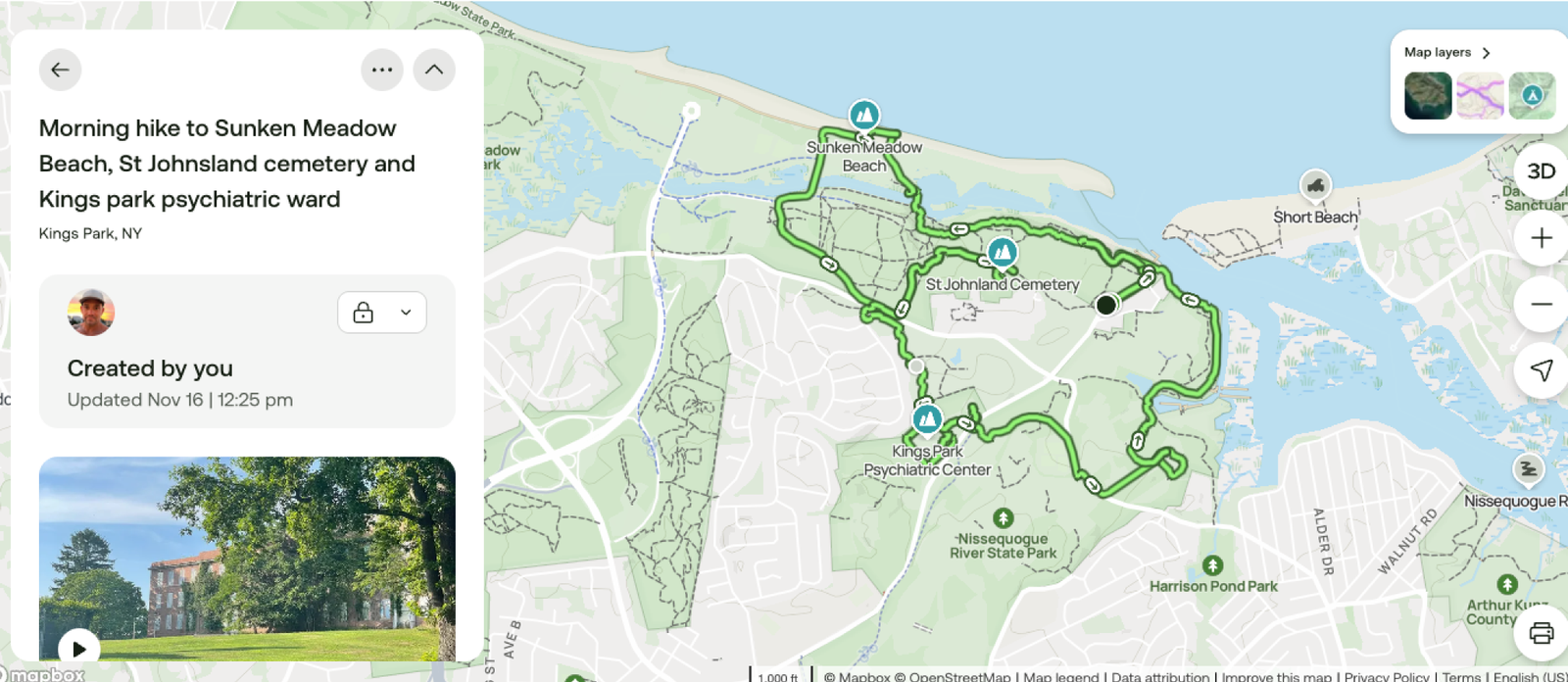
My loop: Sunken Meadow Beach at the top, the cemetery in the middle, the hospital grounds at the bottom. Original screenshot by John Cordeira.
Sunken Meadow: Bluffs, Beach and a Creek
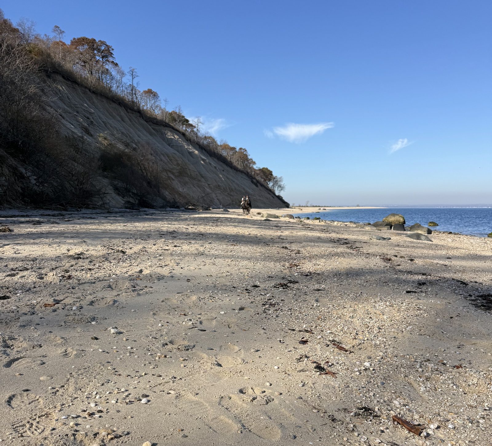
The first stretch climbs through the woods and comes out on top of the bluffs. Then the trees open up and you're looking straight down at Sunken Meadow Beach and Long Island Sound. On a clear November morning you can see all the way across.
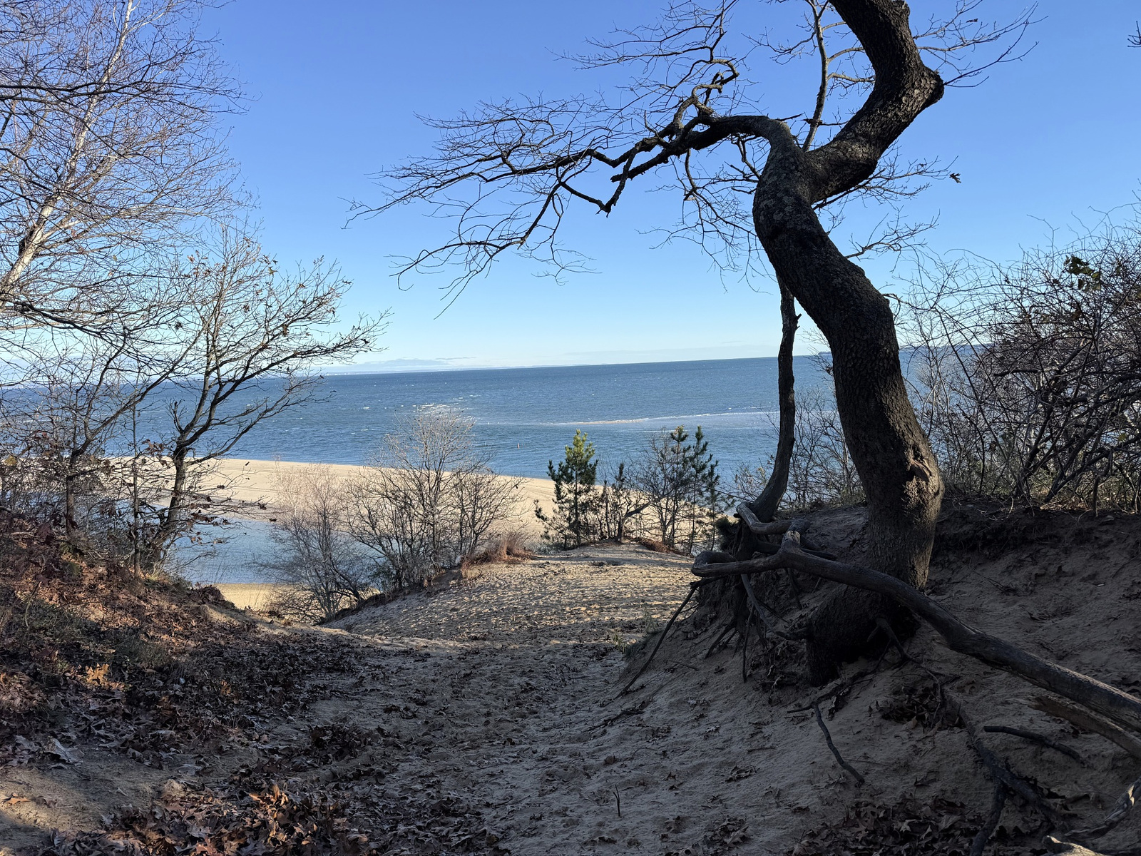
The way down from the bluff to the beach. Original photo by John Cordeira.
The park's official name is Governor Alfred E. Smith/Sunken Meadow State Park. The "sunken meadow" is the low salt marsh between the beach and the high ground. Sunken Meadow is also where the Long Island Greenbelt Trail begins. It runs almost 32 miles south from here to Heckscher State Park on the Great South Bay, and it's been a marked trail since 1978.
Off the beach, I followed Sunken Meadow Creek. The tide was low and the water was so clear you could see every ripple on the bottom. A massive boulder sits right in the middle of the creek. Long Island is full of rocks like this, and most of them were dragged here by glaciers long before anyone built anything.
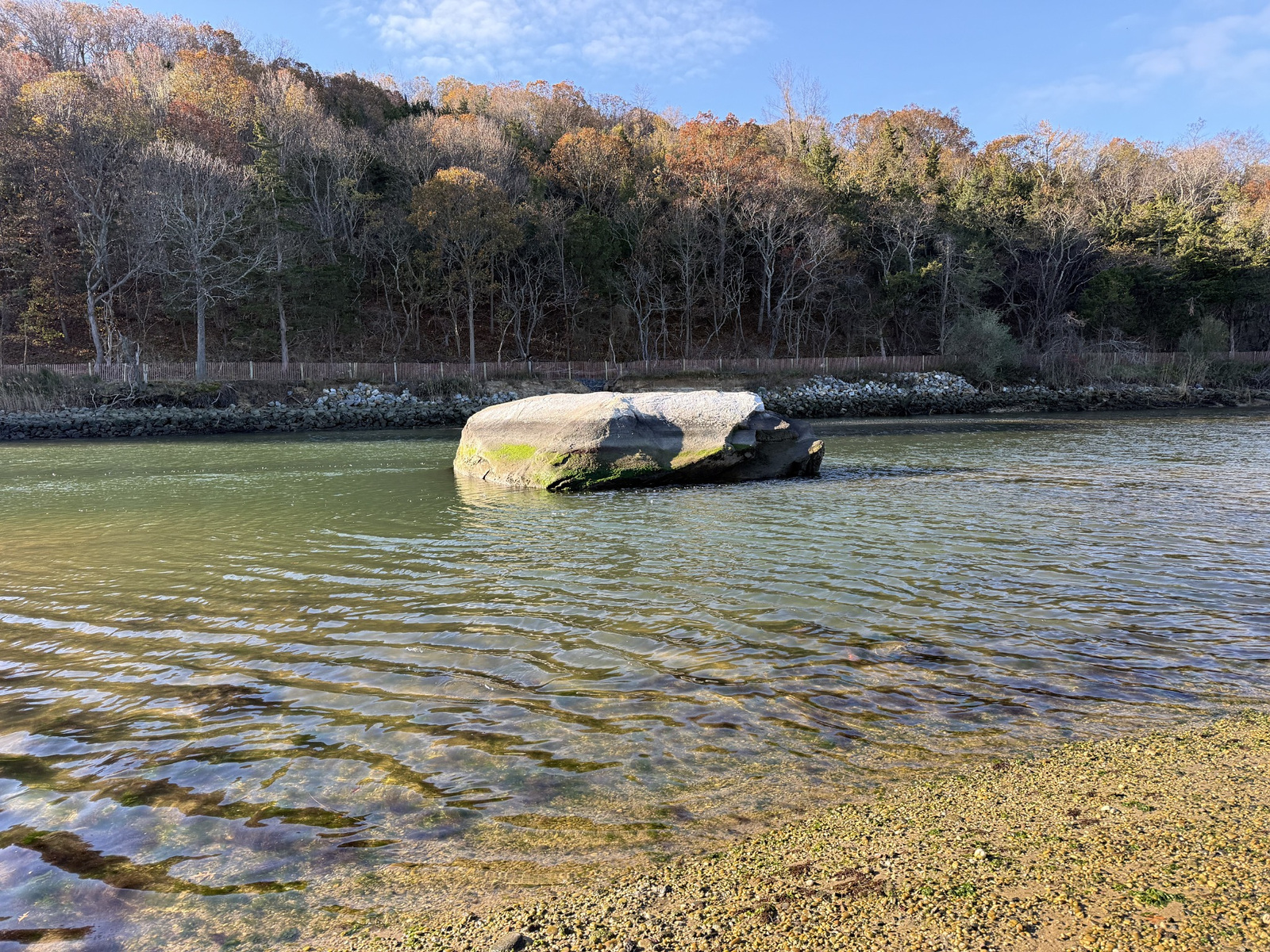
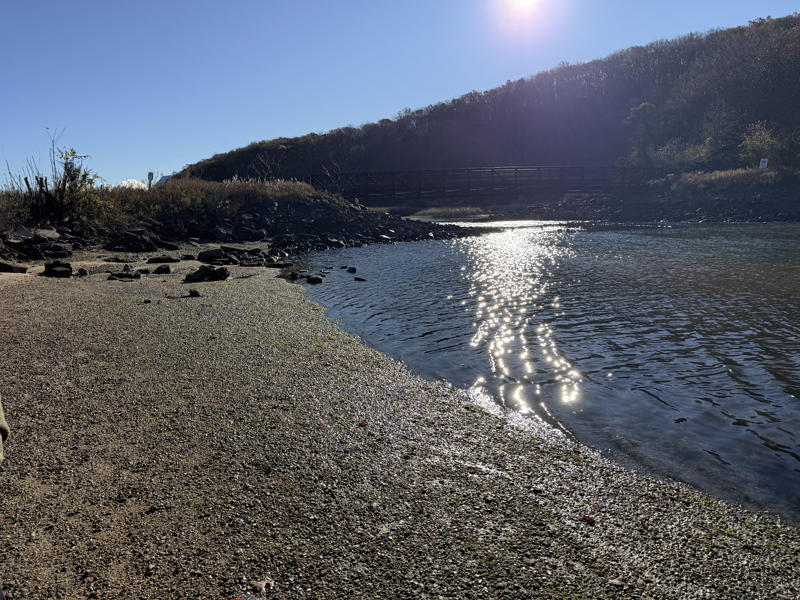
The boulder in Sunken Meadow Creek, and the footbridge in the morning sun. Original photos by John Cordeira.
Three footbridges cross the creek. It's worth knowing the creek itself has a comeback story. For years a dike blocked the tide from the marsh behind it. After Superstorm Sandy, the tidal flow was restored, and salt water moves through the marsh again.
St. Johnland: The Town Before the Town
Next I headed inland into the woods to find the St. Johnland Cemetery. It's small and easy to miss, sitting in the trees between the Sunken Meadow trails and the grounds of the St. Johnland Nursing Center. Old granite headstones, some still standing, some tipped over under the leaves. A few date back to the 1800s.
Here's the history. In 1866, the Rev. William Augustus Muhlenberg, an Episcopal priest from New York City, founded the Society of St. Johnland here, a farm community for orphans and people with nowhere else to go. Muhlenberg died in 1877 and is buried in this cemetery. The society he started still exists. It's the St. Johnland Nursing Center you pass on Sunken Meadow Road.
St. Johnland gave the whole area its first name. When the railroad came through in 1872, the station was called St. Johnland. Hang onto that, because it comes back.
If you go looking for the cemetery, be respectful. These are real graves. Don't move or climb on the stones, and don't cross fences or posted property to get there.
A Lunch Break on a Log
After the cemetery I found a quiet section of the park near the edge of the neighborhood, with a fallen log in the perfect spot. I sat down, ate, and took a breather before the next leg.
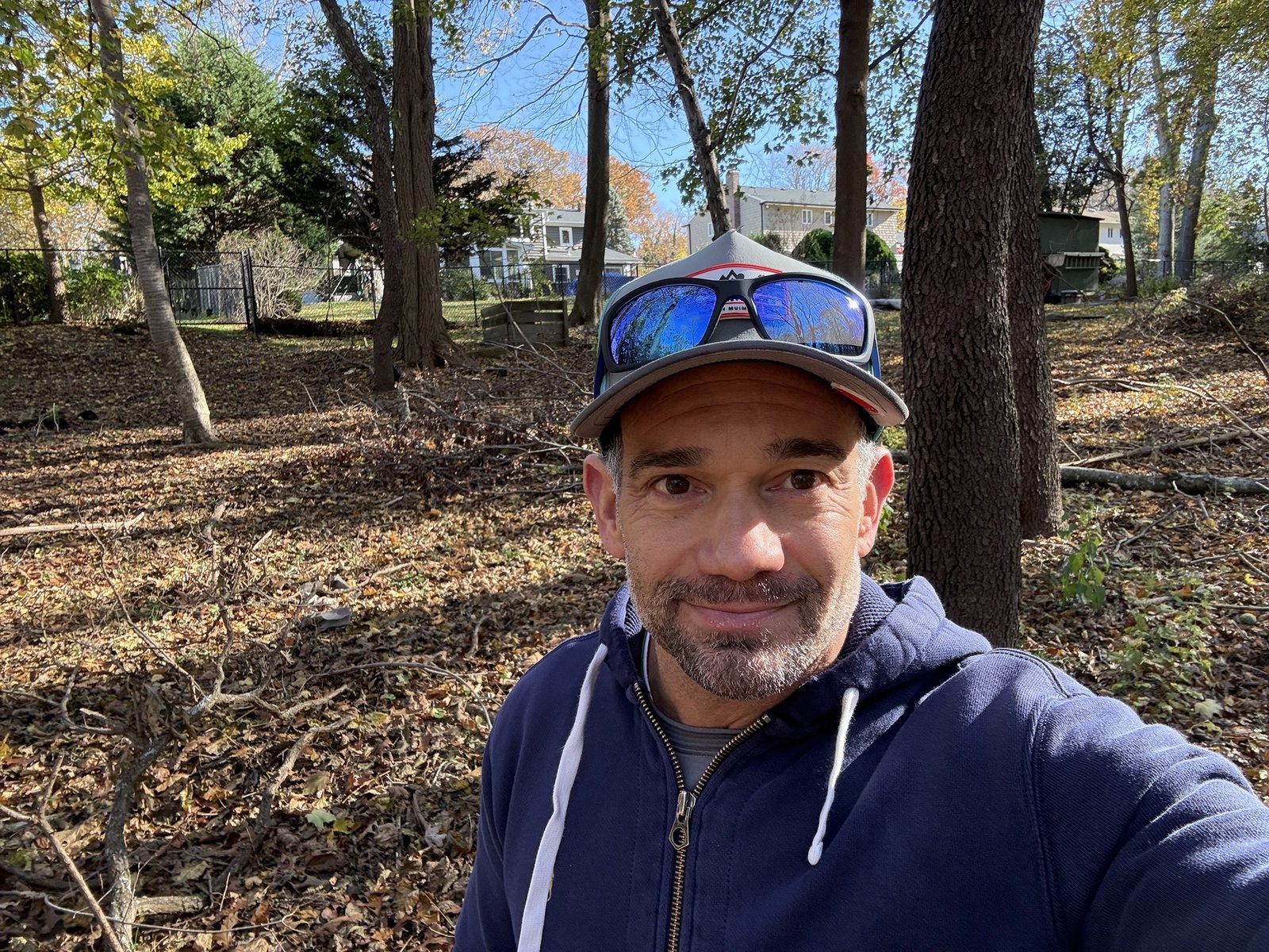
Lunch break. Original photo by John Cordeira.
The Kings Park Psychiatric Center
Then the trail comes out on the old hospital grounds, and the mood changes. Big brick buildings, four and five stories tall, windows barred or boarded up, ivy and young trees climbing the walls. There's graffiti on the lower floors and a cupola still standing on top of the main building. Most of it you can walk right up to. Only one or two sections are fenced off.
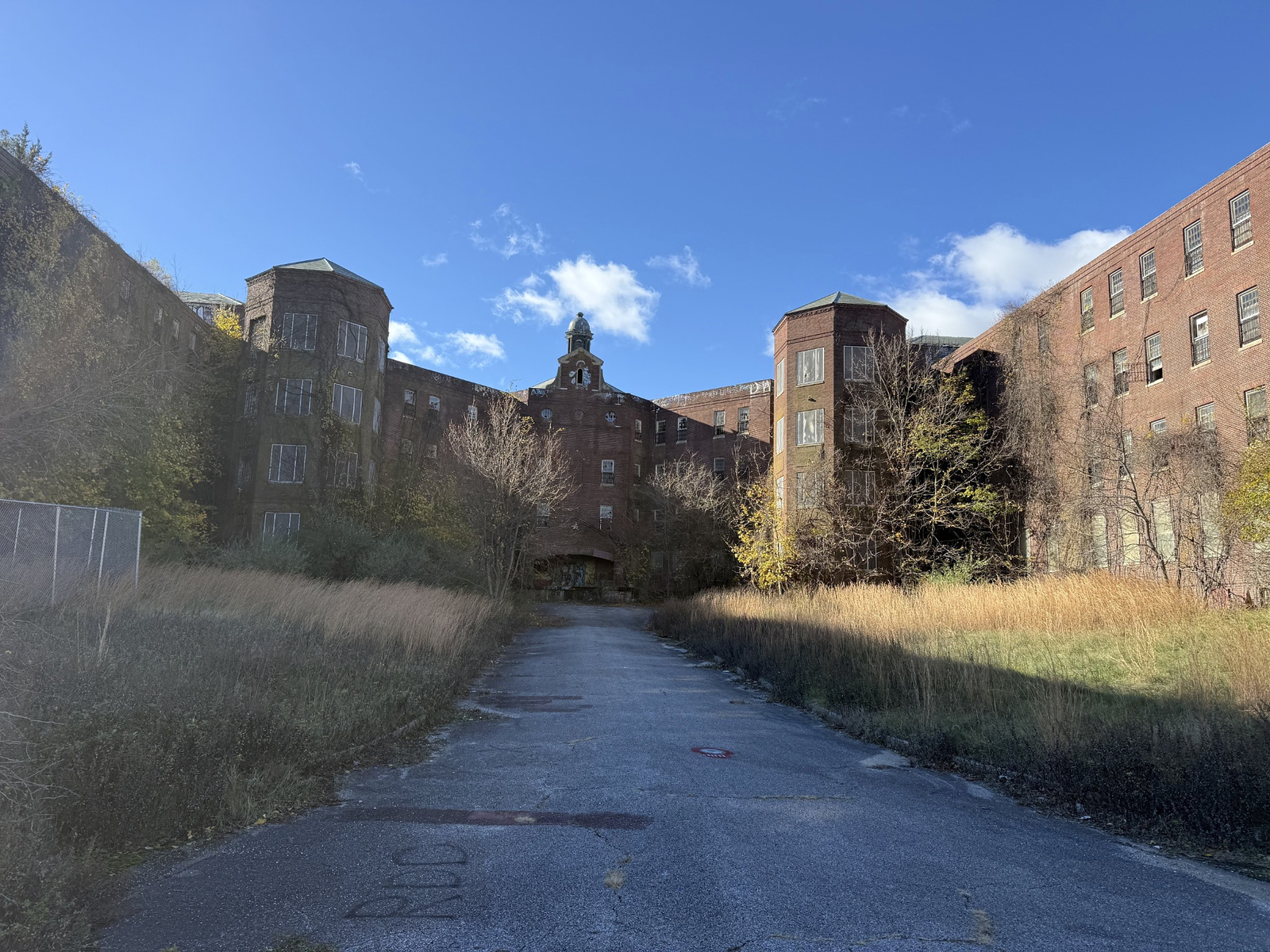
One of the old hospital buildings from the grounds. Original photo by John Cordeira.
This place is the reason Kings Park has its name. In 1885, Kings County, which is Brooklyn, opened a farm asylum out here because its hospitals back home were overcrowded. In 1891, the railroad renamed the St. Johnland station "Kings Park," after the Brooklyn hospital, and the name stuck to the whole community.
New York State took over the hospital in 1895, and it became the Kings Park State Hospital. It kept growing. At its peak in the 1950s, about 10,000 patients lived here. In the 1970s it was renamed the Kings Park Psychiatric Center. Treatment changed, the patient count dropped, and in 1996 the state closed it for good, moving the last patients to Pilgrim Psychiatric Center.
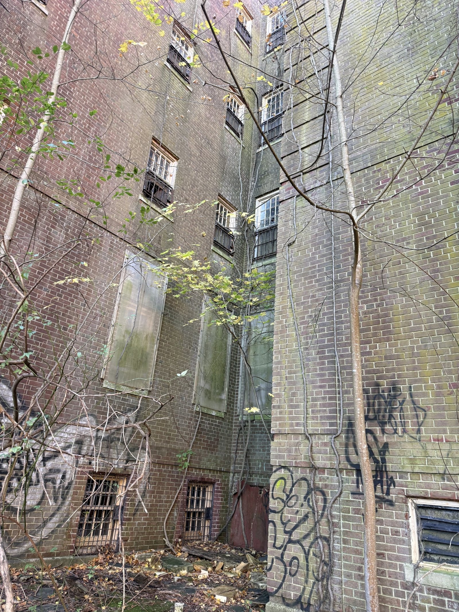
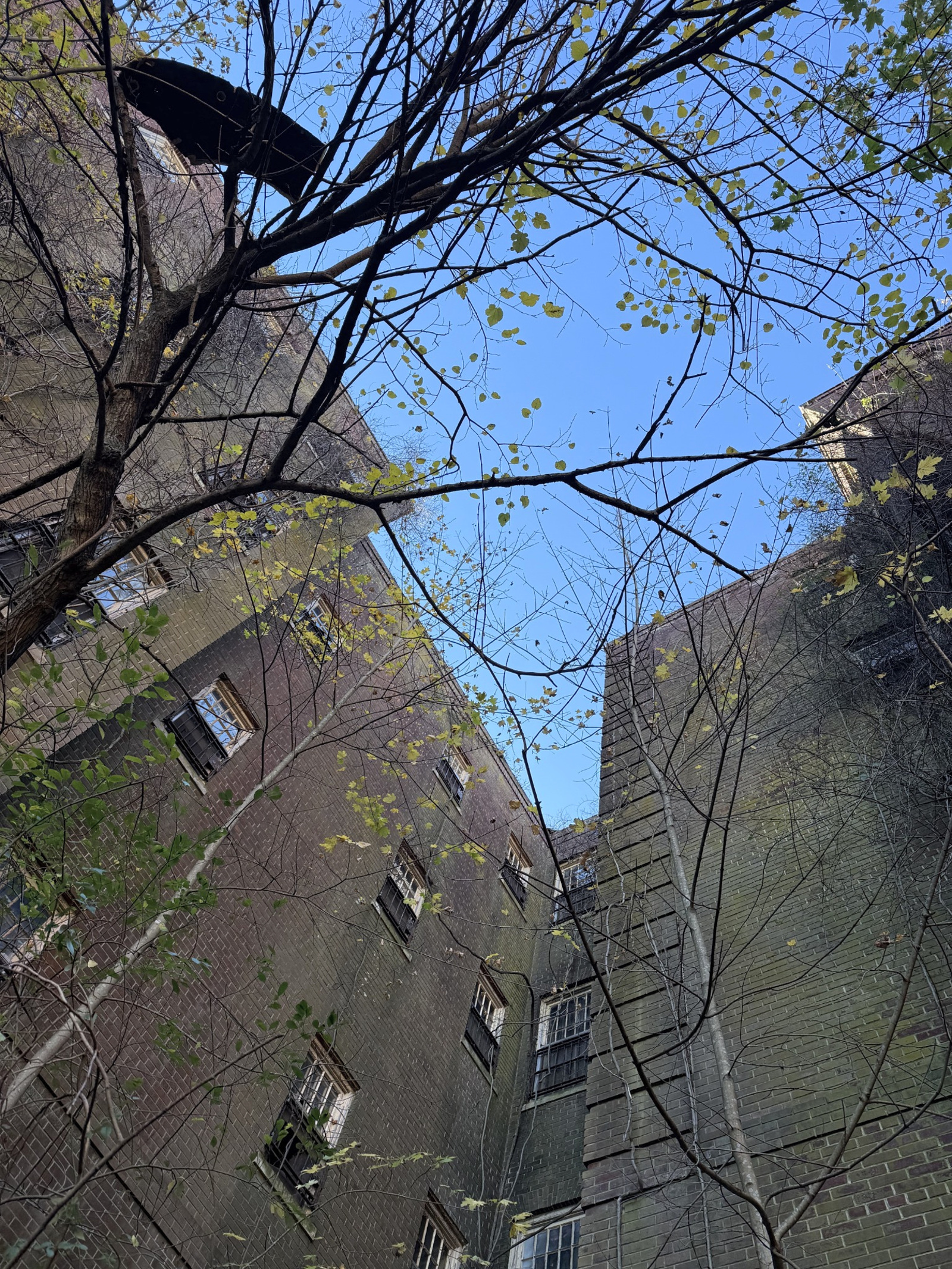
Up close and looking up. Original photos by John Cordeira.
In 2000, the waterfront part of the old campus became Nissequogue River State Park. The park has since grown to 521 acres along the river, and the old buildings sit inside it.
It's eerie walking through, but I'd also say this: thousands of people spent their lives here as patients, and thousands more worked here and raised families in Kings Park. Treat it like history, not a haunted house. Stay out of the buildings and respect the fences. These structures are falling apart, and walking through the grounds gives you plenty to see.
Shanahan's, Out in the Woods
Coming off the hospital grounds on Old Dock Road, I passed something I didn't expect. Right there in the trees is Shanahan's Bar & Grill, with white party tents, a flag out front and its own gravel lot. There's nothing else like it around. It's just a bar sitting in the woods between the hospital grounds and the river.
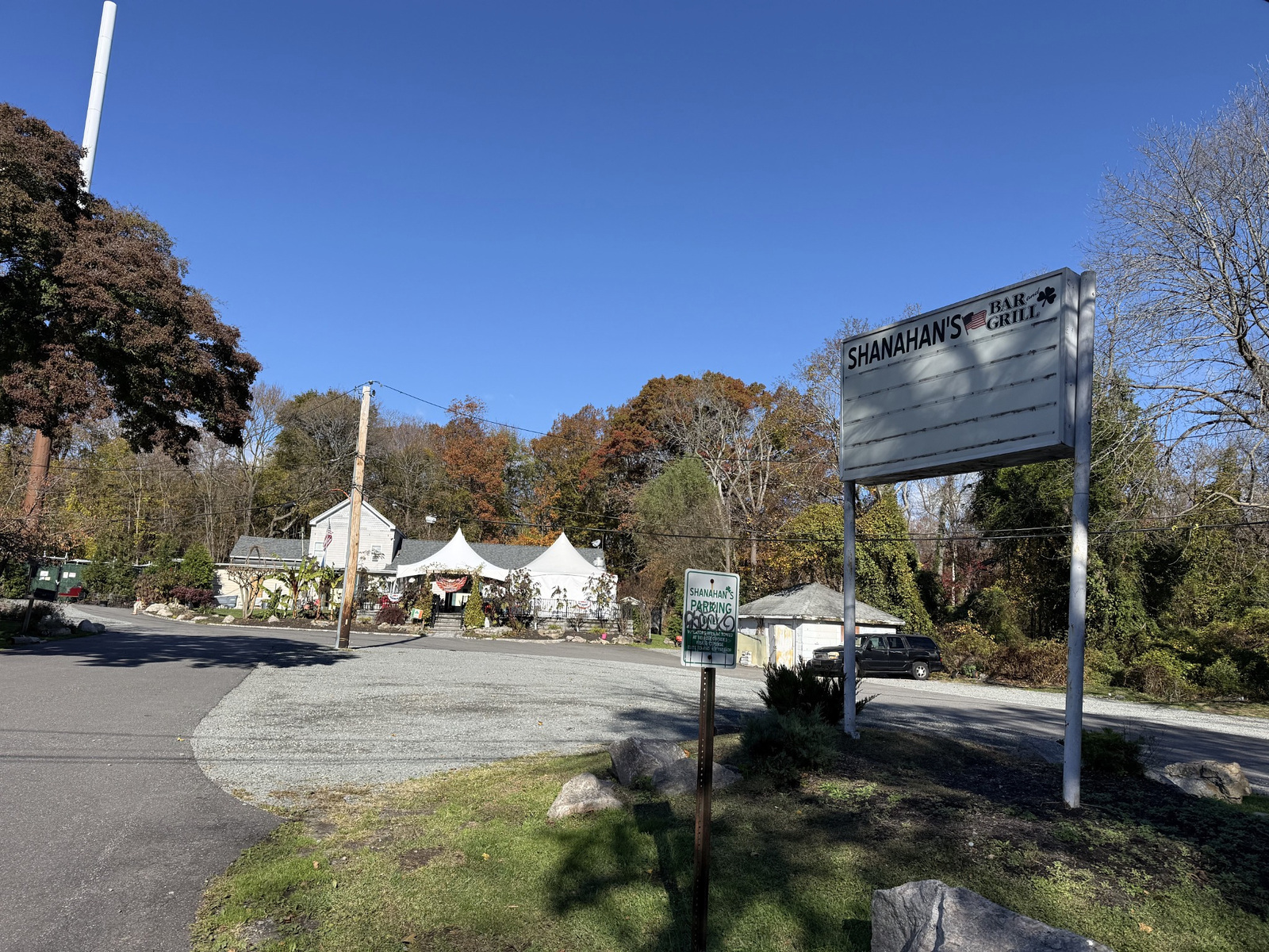
Shanahan's on Old Dock Road. Original photo by John Cordeira.
It wasn't open when I came by. On Sunday it doesn't open until noon. Next time I'll time the loop so it ends there.
Back Along the Nissequogue, and Where I Lost the Trail
From there the loop heads back through the woods toward the Nissequogue River. The trail runs above the marsh, and through the trees you get views across the water to the houses on the other side.
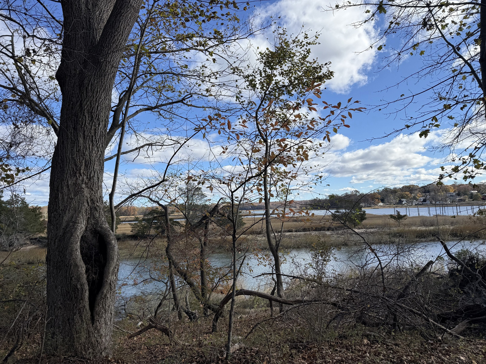
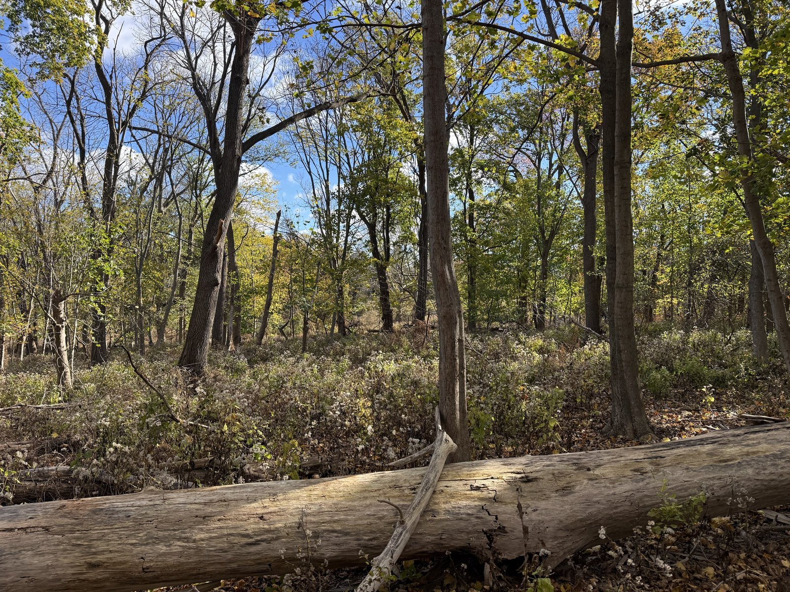
The marsh through the trees, and the woods on the way back. Original photos by John Cordeira.
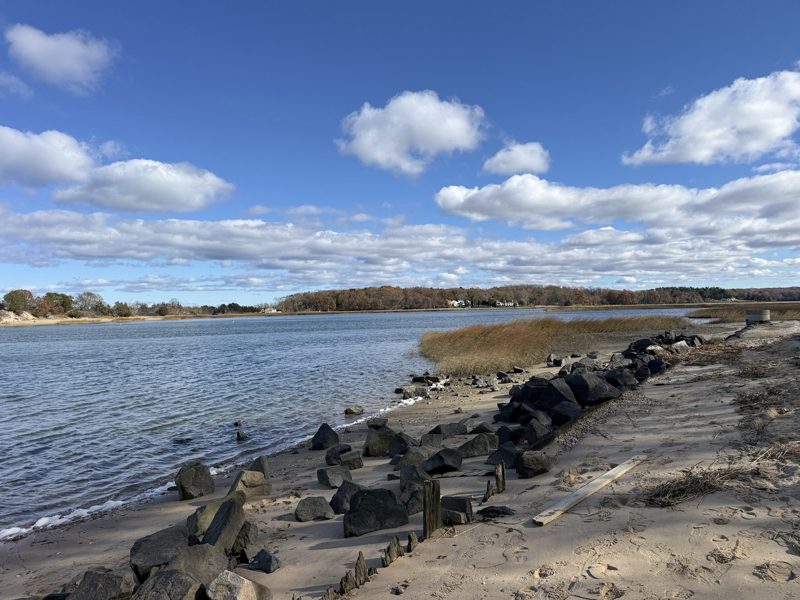
Down at the river. Original photo by John Cordeira.
Then, about 5 miles in, my phone died. No map, no tracking, and back there the trails cross each other constantly. I got a little sidetracked and lost my bearings for a while. Eventually I found my way back to the car, but it took longer than it should have.
Lesson learned: on a loop of almost 8 miles through trails like these, bring a backup battery or screenshot the map before you start.
John's Take
My favorite hike on Long Island so far. A beach and views with real character, plus landmarks you won't find on any other trail: a hidden 1800s cemetery and an abandoned state hospital, all in one morning loop. I didn't know half of this history when I started. Now I can't drive through Kings Park without thinking about it.
It's a real workout: 7.68 miles, steep bluffs and 587 feet of climbing. Start early, give yourself the whole morning, charge your phone, and plan on ending at Shanahan's after noon.
Planning This Hike
Plan on about 8 miles. My full loop was 7.68 miles with 587 feet of elevation gain. Between the bluffs, the beach, the cemetery and the hospital grounds, there's a lot to stop for, so give yourself the whole morning.
Charge your phone, and bring a backup. The trails between Sunken Meadow and the hospital grounds crisscross. Without a map it's easy to get turned around.
Wear real shoes. The bluff trails are steep and sandy in spots, and the beach and creek edges are rocky.
Stay out of the old buildings. Walk the grounds and look all you want. Respect the fences, and don't go inside.
Be respectful at the cemetery. Don't move or climb on the stones, and don't cross fences or posted property.
Check the official park pages. Sunken Meadow and Nissequogue River State Park list current hours, fees and trail maps.
Check for ticks. After any walk through the woods.
Sunken Meadow & Kings Park Hiking FAQs
Can you visit the Kings Park Psychiatric Center?
You can walk the grounds. The former hospital campus is part of Nissequogue River State Park, and most of the old buildings sit in the open. On my visit, only one or two sections were fenced off. The buildings themselves are abandoned and deteriorating, so stay outside them.
Why is it called Kings Park?
Because of the hospital. The area was originally known as St. Johnland. In 1885, Kings County, which is Brooklyn, opened a farm asylum here, and in 1891 the railroad renamed the St. Johnland station "Kings Park." The name stuck to the whole community.
When did the Kings Park Psychiatric Center close?
In 1996, after 111 years. The remaining patients were moved to Pilgrim Psychiatric Center. In 2000, the waterfront part of the property became Nissequogue River State Park.
What is the St. Johnland Cemetery?
A small, old cemetery in the woods between the Sunken Meadow trails and the St. Johnland Nursing Center. It belonged to the Society of St. Johnland, which the Rev. William Augustus Muhlenberg founded in 1866 to care for orphans and the poor. Muhlenberg is buried there.
Where does the Long Island Greenbelt Trail start?
At Sunken Meadow State Park on Long Island Sound. It runs almost 32 miles south to Heckscher State Park on the Great South Bay.
Is Sunken Meadow open year-round?
Yes. New York State Parks lists Sunken Meadow as open every day, year-round, from sunrise to sunset.
Is Kings Park in Nassau or Suffolk County?
Suffolk County. Kings Park is a hamlet in the Town of Smithtown, on the North Shore.
Live Near Sunken Meadow
Kings Park puts Sunken Meadow, Nissequogue River State Park and the Greenbelt Trail close to home, with an LIRR station on the Port Jefferson Branch. Browse what's for sale, or see how the North Shore bluffs shape the homes along the water.
North Shore bluff homes · Huntington guide · Cold Spring Harbor parks & trails
More Move With John Adventures

See all Move With John adventures »
Know More Kings Park History?
I walked in knowing almost none of this. If you grew up in Kings Park, worked at the hospital, or know the story behind a spot I passed, tell me. I want this page to get the history right.
What's Your Home Worth?
Live in Kings Park or anywhere on Long Island and curious where your home stands? Start with a free home value estimate.
John Cordeira
Broker/Owner, Cordeira Homes
Long Island, New York
#RippedRealtor